Barangay Nagtoctoc
Category
BarangayAbout This Project
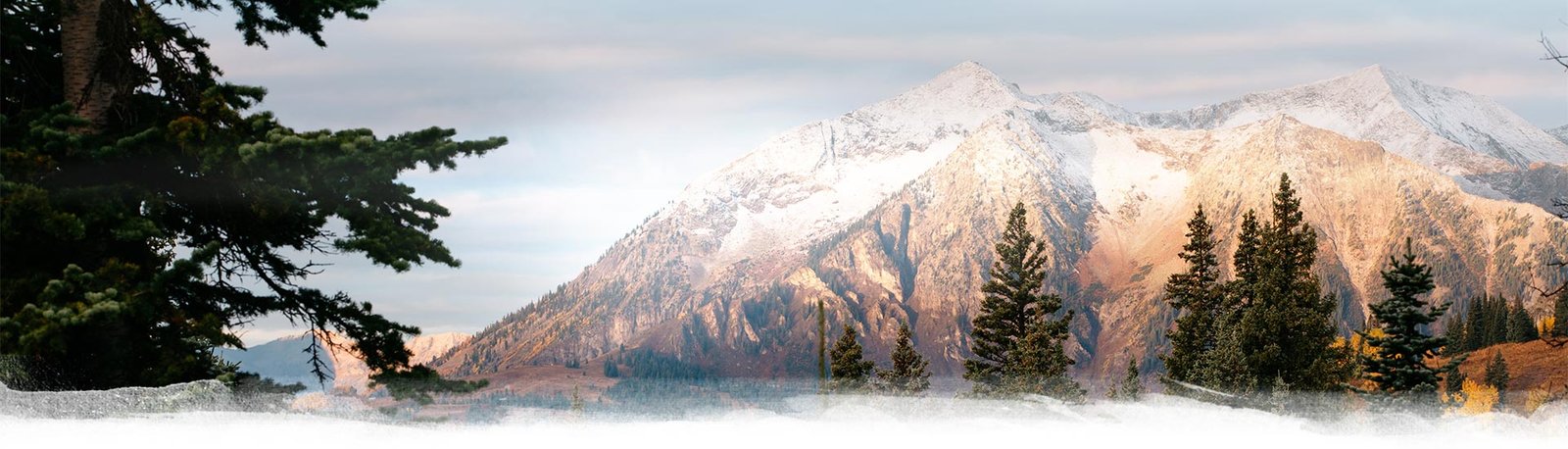
It was called Nagtoctoc because of its location and shape that looks like steep land standing tall at tuktok (summit) of Lobo’s known mountainscapes. This rocky and mountainous community was surrounded by cow’s field of grassland and popular hiking attractions reaching 7 kilometers away from the town proper. They nestled at the eastern terrains of Lobo where it was bounded by vast tropical forest to the south and three (3) neighboring upland barangays. These are: Brgy. Bignay to the north, Brgy. Jaybanga to the east and Brgy. Nagtaluntong to the to the western mountain side.
It has a total land area of 885,9077 hectares and is divided into six (6) sitios: Sitio Riverside, Maligaya, Kalinisan, Santolan, Paho ang Huli. Due to its blissful surrounding and rich agricultural land, farming, trade, and forestry has been the common occupation of its residents contributing to the prosperous production of food supplies for the town.
BRGY. OFFICERS
Brgy. Captain – Nestor R. Ilagan
Brgy. Treasurer – Ellen G. Escamillas